Hiker
Roosa Gap Fire Tower Hiking Guide
A local ridge outing to a lookout above the Wurtsboro area.

- Route type
- Out and back
- Distance
- Check selected route
- Cumulative ascent
- Not verified
Distance depends on the selected entrance and turnaround; no tower round-trip total is asserted. Full-route ascent not verified. Summit elevation is not elevation gain.
Sources reviewed 2026-10-04 · Independent HikerQuests planning guide
Start here
Use the DEC map to select the Plank Road / Fire Tower Road access and intended direction on the ridge trail.
Terrain & what to see
A marked Shawangunk Ridge Trail / Long Path outing. Set a mapped turnaround rather than treating connecting woods roads as part of the plan.
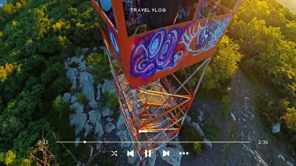
Ridge scenery near Wurtsboro; tower access is a separate question from reaching the surrounding area.
Before hiking
Use the current DEC map to distinguish the hiking route from old roads and private tracks.
Landscape & trail notes
Pair the ridge walk with our Wurtsboro canal and railroad reading; an old map is evidence of a former route, not permission to follow it.
After the hike
Leave the town stop flexible until you are back at the car. Add your actual route, date and useful trail observations to your journal; confirm current opening hours before making a separate food or history stop.