A climb above the Delaware with a ledge destination. The NPS describes about 2 miles return to the ledges; its larger Bouchoux outing is about 5.5 miles.
An approximately one-mile outer loop links a compact trail network. Read the park’s interpretation of the Revolutionary War battle as part of the visit.
A Hudson River opening: bridge approaches give way to Palisades woodland and cliff-top views. The northern end becomes steeper; this is a full walking day, not a short overlook stroll.
Palisades parks meet village streets around Piermont and Nyack. Tallman Mountain and the Clausland–Blauvelt park system make this a varied transition between river towns and wooded ridges.
After leaving Nyack, the route reaches the Hook Mountain ridge. River views and former quarry landscapes reward the climb, while the urban approach means the entire section is not a…
High Tor supplies a steep climb before the route continues through the South Mountain park landscape. Treat the mileage as a ridge walk with elevation changes, not an easy suburban…
Cheesecote Pond and the Letchworth area lead into Harriman. The change from town parks to a large trail network makes junction awareness an important part of this section.
A Harriman woodland traverse with hemlock, wetland edges and Stockbridge Mountain. Several intersecting trails make a current junction-by-junction map especially useful here.
Rugged summits connect Harriman with the Woodbury side of the Highlands. The organizer describes a seasonal alternative; confirm which route is open before calculating your day or logging…
Schunemunk brings a steep ascent and exposed rocky walking before the route reaches the Heritage Trail. Gonzaga Park forms part of this transition from mountain trail to a former railroad…
The Orange County Heritage Trail connects Monroe, Chester and Goshen along the former Erie Railroad. Compared with the surrounding mountain sections, this is a more level multiuse corridor…
A long rural connector from Goshen toward Greenville, with substantial road walking. Open fields and farm country replace the mountain-trail feel; traffic exposure belongs in the trip plan.
Forested ridges, old travel corridors and the Bashakill landscape connect Greenville with the southern Shawangunks. The SRT joins the Long Path at Shin Hollow Road, so this section…
Railroad history and wetland scenery lead toward Wurtsboro before the trail climbs onto its ridge. The former O&W corridor, village streets and pitch-pine country make this a particularly…
Roosa Gap and Shawangunk Ridge State Forest connect with the Sam’s Point area. Old road corridors give way to a substantial climb through South Gully; plan this as more than a short ridge…
From Sam’s Point, the Long Path crosses Minnewaska terrain toward Rondout Creek. Verkeerder Kill Falls and the High Point area are route landmarks; the SRT branches away before the Long…
This is currently a road-walking connection between the Rondout valley and Riggsville. It links mountain areas but should not be presented as an uninterrupted forest trail.
Vernooy Falls and the Sundown landscape introduce the southern Catskills. Woodland and old-road walking give way to rougher terrain and a steep descent toward the Bull Run end.
Peekamoose and Table make this a demanding mountain section. The initial climb gains substantial elevation before the route crosses the ridge and descends toward the Neversink drainage and…
The route climbs from the Neversink valley into Slide Mountain Wilderness, following the Burroughs Range toward Cornell and Wittenberg. Terrain and elevation gain matter much more than the…
A mountain-to-village traverse through the Mount Pleasant and Romer area toward Phoenicia. A long descent and several ridges make this an ambitious approach to an Esopus-side finish.
Tremper’s fire tower is one landmark on this longer traverse toward Silver Hollow. Warner Creek is an unbridged crossing; a tower visit alone does not complete the entire section.
The eastern Devil’s Path crosses Plateau, Sugarloaf, Twin and Indian Head. Repeated climbs, ledges and scrambling make this one of the most strenuous stretches of the Long Path.
Kaaterskill High Peak’s northern slopes lead toward Palenville, combining gentler old-road or snowmobile-trail walking with a steeper descent. Quarry and transport history add another…
Historic travel routes climb from Palenville toward North–South Lake. The Harding Road and former grand-hotel landscape invite comparison between modern trails and nineteenth-century…
Escarpment walking links the North Lake area with Blackhead and Batavia Kill. North Point and Dutcher Notch are landmarks on a route that includes serious climbing and a steep descent.
Windham High Peak forms the final Catskill Park mountain stage on the northbound route. The Elm Ridge landscape also preserves a reforestation story in planted conifer stands.
The route passes through a patchwork of state forest and watershed land north of NY 23. Old roads and Mount Hayden country give a quieter character than the better-known Catskill summits.
Mount Pisgah and the South Mountain landscape link Greene and Schoharie counties. Woods roads, planted forest and ridge terrain make this a transition into the northern Long Path’s rural…
Road walking and woodland stretches combine around South Mountain and West Conesville. The route uses a mixed ownership landscape; stay on the permitted corridor rather than following…
Mine Kill’s waterfall landscape, Schoharie Reservoir country and the Lansing Manor area shape this section. A published reroute changed the distance, so use the current organizer guide…
Burnt-Rossman Hills State Forest offers a landscape of former farms, old roads and reforestation. Look for patterns of past land use from the designated trail rather than treating every…
Patria State Forest and Vroman’s Nose connect with Middleburgh. The valley views are a highlight, but nesting-season trail restrictions can change the approach near the cliffs.
A climb out of Middleburgh leads toward Cotton Hill and Dutch Settlement state forests. The transition from village edge to wooded high ground includes private-land connections at the ends.
Partridge Run’s ponds, wetlands and multiuse trails define this rural upland section. The organizer describes a hunting-season alternative, so check access before choosing the day’s route.
Cole Hill State Forest provides woodland walking between stretches of local road and former farmland. A quieter section for noticing old landscape boundaries as well as the route ahead.
Farm-country roads and Thacher’s limestone escarpment lead to Altamont. A 2025 relocation brought the official end-to-end terminus to Orsini Park; the park’s Indian Ladder route also…
North of the end-to-end terminus, this extension links Altamont with Bozenkill, Wolf Creek Falls and Christman country. Check the organizer’s bridge and high-water notes before relying on…
This northern extension mixes Duanesburg-area roads with forest paths toward Featherstonhaugh. Expect a rural connector, including trails also used for winter recreation.
Forest and road connections lead through Plotter Kill country toward the Mohawk. The canal landscape near Lock 9 adds transport history to this optional northern extension.
A scouted back-road route through the West Glenville Hills continues toward Saratoga County. Do not assume continuous trail blazing or a wholly off-road hiking corridor.
A long northern extension uses back roads toward Lake Desolation, Edinburg and Northville. Plan manageable stages from the current guide rather than interpreting the listed section…
Begin at the Appalachian Trail connection in High Point State Park and follow the southern SRT toward Graham. The official G1 and G2 descriptions explain the early sections and connection…
The route moves from southern ridge country toward the Bashakill and Wurtsboro. Old railway corridors and wetland edges make this an especially useful area for comparing historic and…
Follow the ridge north through Wurtsboro, Roosa Gap and toward the Minnewaska landscape. Consult the shared Long Path descriptions and current land-manager notices; historic mining areas…
The northern SRT continues through Minnewaska and Mohonk toward the Wallkill Valley Rail Trail. Follow the SRT-specific map after its split from the Long Path; the Long Path descent to…
The southern SRT begins at the Appalachian Trail in High Point State Park and reaches the Hawthorne Lake area. Use the official guide to distinguish the actual SRT start from the park’s…
This connection reaches the Long Path at Shin Hollow Road. Ridge walking and old rail history are part of the story; a nearby active railroad is not a hiking route.
Millbrook Ridge loop choices from Trapps Bridge: loop planning, trailhead details, terrain, highlights and official map sources near Gardiner · New Paltz.
Table Rocks out and back from Spring Farm: out and back planning, trailhead details, terrain, highlights and official map sources near New Paltz · High Falls.
Giant Ledge from Oliverea Road North: out and back planning, trailhead details, terrain, highlights and official map sources near Big Indian · Oliverea.
Slide Mountain via the direct Burroughs Range approach: out and back planning, trailhead details, terrain, highlights and official map sources near Big Indian · Oliverea.
Red Hill Fire Tower from Denning Road: out and back planning, trailhead details, terrain, highlights and official map sources near Denning · Grahamsville.
John Burroughs Black Creek paved segment: out and back planning, trailhead details, terrain, highlights and official map sources near Esopus · West Park.
For a Wurtsboro day built around looking and listening, choose one Bashakill entrance and a modest turnaround. This guide describes a choice of designated walks, not one fixed loop.
Old Mountain Road is worth knowing when planning around Wurtsboro. Use the named road to choose a section, without assuming every parking area begins at the same end.
Choose the Lake Minnewaska circuit for a day with one clear objective. The visitor center supplies a consistent distance reference, making this plan easier to compare and share.
Use this plan for the Sam’s Point lake circuit, with a clear beginning and finish. Keeping the outing specific makes reservations, timing and the invitation easier to understand.
Frick Pond is the shorter choice beside the longer Hodge Pond circuit. Make it the complete plan if the group wants time to pause without committing to a longer forest tour.
Hodge Pond is a separate commitment from the shorter neighboring pond loop. Agree on the complete circuit and available daylight before leaving the trailhead.
Include “Mill Brook Road” when sharing this Balsam Lake Mountain plan. The mountain name alone can give a friend using another approach a different idea of the day.
Tremper from County Route 40 is a climb-focused outing. Give companions the ascent alongside mileage so the invitation describes more than a destination photograph.
Peck Road gives this Windham High Peak itinerary a clear start. Share that entrance so a mountain-name search does not silently substitute a different approach.
Choose the observation platform as the complete Kaaterskill itinerary. It is a different outing from descending to the lower falls, and the shared plan should say so.
Make the valley the destination on this Kanape Brook plan. An Ashokan High Point summit guide describes a longer day even when it starts from the same parking area.
Let observation set the pace at Esopus Meadows. Choose a path that suits the group and leave time to look closely instead of adding mileage at every junction.
Franny Reese pairs river scenery with a history-minded walk near Highland. Decide whether the overlook, old estate landscape or a longer circuit is the day’s priority.
Little Stony Point is a compact Cold Spring plan for a group seeking time beside the Hudson. Keep the named beach loop as the agreed outing rather than adding an unexpected climb.
A lake name needs an approach attached. This Pine Meadow plan uses the park’s recommended Reeves Meadow circuit so companions can agree on one itinerary.
West Mountain from Anthony Wayne is a particular loop, not a generic instruction to climb the mountain. Keep the entrance in the invitation so nobody assembles at a different access.
Specify the Lake George Black Mountain in your plan. New York has other mountains with the same name, so the region and entrance both belong in the invitation.
Buck Mountain from Pilot Knob is a full mountain outing. Share ascent with mileage so the group chooses the walking commitment as well as the destination.
This is the walking approach to Prospect Mountain. Treat it separately from a driving visit and send companions the pedestrian entrance rather than a general summit destination.
Hadley is a useful example of why a guide should show uncertainty. The manager and tower committee give different distance figures, so this page does not pretend the discrepancy is settled.
Discuss Crane Mountain before anyone accepts an invitation. Its length does not explain the ladders or exposure; those features belong in the decision at home.
High Point makes a natural first stop when you want to connect your New Jersey hiking days with the Shawangunks. Choose the Monument Trail loop for a defined outing, rather than treating…
Tillman Ravine is a good Stokes choice when your group would rather spend its time looking closely at a forested ravine than chasing a distant summit. Give this shorter loop its own outing…
Sunrise Mountain is the view-focused choice in this Stokes collection. First decide whether you want a summit-area visit or a longer ridge hike: the same destination name can hide a very…
Mount Tammany is the rocky, uphill option for a Delaware Water Gap day. The Red Dot and Blue Trail loop gives the outing a clear shape: climb to the view, take time there, then finish the…
Garvey Springs is a compact but demanding way to approach Sunfish Pond. Choose it because your group is comfortable climbing steep terrain, not simply because the mileage looks shorter…
Douglas Trail suits hikers who want a climb into Worthington’s ridge network without describing every visit as a Sunfish Pond loop. This guide uses the Appalachian Trail junction as the…
For a Sunfish Pond outing with a creek-centered approach, look at Dunnfield Creek Trail. Make the stream crossings part of the decision before you go: this is a different experience from…
Beulahland, also called Farview Trail, is an alternative way into Worthington’s ridge country. Give friends both names when sharing the plan so a familiar app label and the official trail…
Buttermilk Falls has two very different visits hiding behind one name: seeing the waterfall near the start and hiking the climbing trail beyond it. This page covers the trail to the…
New Jersey’s Crater Lake is a useful choice when you want a defined lake loop rather than a long summit day. Keep the first visit focused on the lake; save the adjoining trail network for…
Hemlock Pond turns a ridge-top lake visit into a longer woodland outing. The key planning detail is the approach: the loop around the pond is only part of your day when you start at Crater…
Blue Mountain Lake works best as a choose-your-distance woodland day. Pick a loop before leaving the trailhead, then use the network’s flexibility to shorten the plan if the group wants…
Coventry Pond is a smaller outing for a day when your group wants a destination without a demanding ridge climb. Use it as a deliberate pond walk, leaving time to watch the water and…
Rattlesnake Swamp offers a strong contrast to the dry rock associated with Kittatinny Ridge. Plan the swamp trail and Appalachian Trail together if you want a loop, with time for wet…
Raymondskill Falls makes a compact waterfall outing near Milford, but compact does not mean flat. Treat the viewing areas as places to slow down and look, with time for the climb back…
Cliff Trail is the view-oriented choice in the Milford trail network. Decide which overlooks you want to reach and where you will turn around, instead of assuming that every route labeled…
Hackers Falls is a woodland alternative to a quick Raymondskill viewpoint visit. Make the waterfall your planned destination, then return deliberately rather than following another branch…
Milford Knob is a town-view hike for visitors who want to see Milford in its wider valley setting. Make the climb the main activity of the day and keep any extra loop an intentional…
Lower Hornbecks Creek is the Route 209 approach to the lower waterfall. Plan it as its own out-and-back visit: the old idea of continuing up the gorge to the other falls is not a valid…
Upper Hornbecks Creek is a separate waterfall outing from the lower trail. Choose the Emery Road approach for a clear out-and-back plan, keeping the longer Pocono Environmental Education…
Toms Creek is an option when the group wants a shorter Water Gap walk centered on a stream rather than an overlook. Let the pace stay relaxed enough to notice details you would pass on a…
Conashaugh View is a choose-your-route forest outing rather than one fixed loop. Use the official map to set a modest first circuit and a clear return, particularly if your group prefers…
Dingmans and Silverthread Falls belong in the same visit plan, but this is currently a save-for-later page. The official closure must be resolved before planning a walk here; nearby open…
George W. Childs Park combines waterfalls and traces of human history in one planned outing. Give the full loop enough time for stairs, viewpoints and reading the landscape instead of…
Mount Minsi is the Pennsylvania-side ridge outing to compare with New Jersey’s Mount Tammany. Plan a marked Appalachian Trail approach, choosing your viewpoint and return in advance rather…
McDade is a flexible way to plan a river-country walk in Pennsylvania. Start with an entrance and a turnaround, not the full trail name: the corridor has enough access points that two…
Bruce Lake is the longer lake-destination option in this Promised Land collection. Choose the lake as a clear turnaround and give the day enough room for a relaxed stop, rather than…
Conservation Island is the short-loop choice for a Promised Land day when conversation, looking and photography matter more than distance. Keep the plan simple and leave time to enjoy the…
Little Falls provides a creek-focused alternative to Promised Land’s lake walks. Give this short loop enough time for careful footing and observation; it is a different choice from the…
Hawk Falls is a waterfall-focused Hickory Run outing, best planned around enjoying the approach as well as the destination. Give the walk its own time instead of treating a small published…
Shades of Death has a dramatic name, but the useful planning question is whether your group wants careful creek-side walking and time to look at the landscape. Do not let the short…
Boulder Field can mean a destination visit or a substantial walking approach. This page is for planning the named hiking trail, with the return accounted for before you start, rather than…
Plan Cliff Trail on Monhegan Island, Maine. Read original walking notes, view the interactive trail map and track this part of your island hiking challenge.
Plan Underhill Trail on Monhegan Island, Maine. Read original walking notes, view the interactive trail map and track this part of your island hiking challenge.
Plan Burnt Head Trail on Monhegan Island, Maine. Read original walking notes, view the interactive trail map and track this part of your island hiking challenge.
Plan Gull Cove Trail on Monhegan Island, Maine. Read original walking notes, view the interactive trail map and track this part of your island hiking challenge.
Plan Alder Trail on Monhegan Island, Maine. Read original walking notes, view the interactive trail map and track this part of your island hiking challenge.
Plan Whitehead Trail on Monhegan Island, Maine. Read original walking notes, view the interactive trail map and track this part of your island hiking challenge.
Plan Red Ribbon Trail on Monhegan Island, Maine. Read original walking notes, view the interactive trail map and track this part of your island hiking challenge.
Plan Black Head Trail on Monhegan Island, Maine. Read original walking notes, view the interactive trail map and track this part of your island hiking challenge.
Plan Cathedral Woods Trail on Monhegan Island, Maine. Read original walking notes, view the interactive trail map and track this part of your island hiking challenge.
Plan Long Swamp Trail on Monhegan Island, Maine. Read original walking notes, view the interactive trail map and track this part of your island hiking challenge.
Plan Pebble Beach Trail on Monhegan Island, Maine. Read original walking notes, view the interactive trail map and track this part of your island hiking challenge.
Plan Evergreen Trail on Monhegan Island, Maine. Read original walking notes, view the interactive trail map and track this part of your island hiking challenge.
Plan Maple Trail on Monhegan Island, Maine. Read original walking notes, view the interactive trail map and track this part of your island hiking challenge.
Plan Fern Glen Trail on Monhegan Island, Maine. Read original walking notes, view the interactive trail map and track this part of your island hiking challenge.
Plan Station Hill Trail on Monhegan Island, Maine. Read original walking notes, view the interactive trail map and track this part of your island hiking challenge.
Plan Lobster Cove approach on Monhegan Island, Maine. Read original walking notes, view the interactive trail map and track this part of your island hiking challenge.
Plan 1A connecting paths on Monhegan Island, Maine. Read original walking notes, view the interactive trail map and track this part of your island hiking challenge.
For an image post or story: download the card, add it in your social app and paste your caption. Add a link or link sticker where your app supports it. Nothing posts automatically.
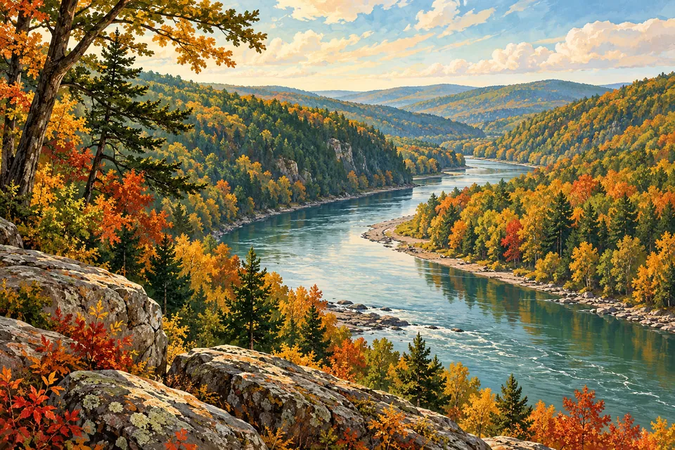
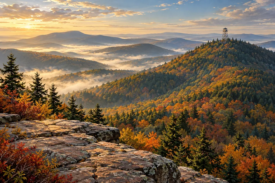
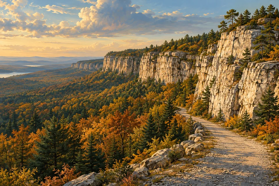
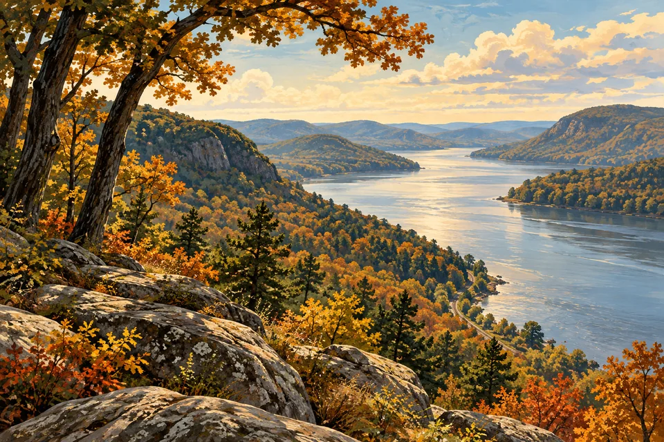
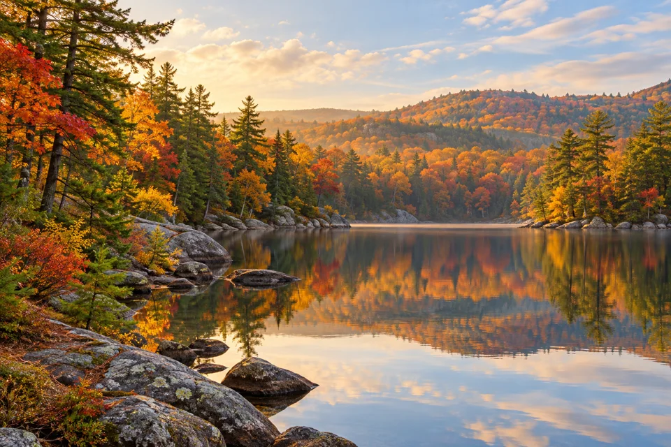
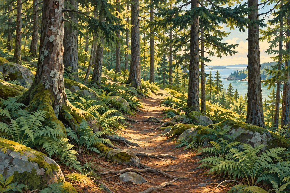
Regional concept artwork, not a trail photograph, navigation map or completion award.
 Hiker