Hiker
Shawangunk Hiking: Ridge Trail, Wurtsboro & History
Explore Shawangunk Ridge Trail guides, shared Long Path sections and historic maps around Wurtsboro. Save hikes and plan your next ridge outing.

One ridge, several ways to explore
The Shawangunk Ridge Trail and Long Path share part of their routes but are not interchangeable from end to end. Start with a section guide that matches the route you intend to walk. A visit to a viewpoint is a worthwhile outing, but it does not by itself complete a full trail section.
Southern ridge outings from Wurtsboro
Use the Wurtsboro guide to connect the Long Path’s Basha Kill–Ferguson Road section, the next section toward Sam’s Point, and our local history stories. The guide links the current land-manager information, including restrictions affecting historic mining areas.
From Minnewaska toward Mohonk
The northern SRT planning page explains where to look for its route information. Follow SRT-specific guidance after the split from the Long Path. Confirm parking, preserve access and the intended finish before arranging a one-way outing.
Compare the old roads with your own recording
The Ellenville 1904 and Wurtsboro 1943 map layers give this part of the collection a local starting point. Save a personal route from My hikes, download the historic area, and compare them in Offline adventures. An old rail grade or road line is historical evidence, not permission to leave public trails.
Plan your next step
- Shawangunk Ridge Trail planning areas →
- Long Path Section 12: Basha Kill to Ferguson Road →
- Long Path Section 13: Ferguson Road to Sam’s Point →
- Wurtsboro hiking, railroad and canal history →
Destinations & section guides
Bashakill wetland walks: choose a shoreline approach →
For a Wurtsboro day built around looking and listening, choose one Bashakill entrance and a modest turnaround. This guide describes a choice of designated walks, not one fixed loop.
Bonticou Crag from Spring Farm →
Treat the scramble as a group decision, not an automatic requirement. A person who enjoys a steep trail may still dislike climbing through boulders. Look over the signed approach and descent on the official map before…
Foothills Loop from Testimonial Gateway →
Choose a foothills outing when the landscape around the mountain interests you as much as the summit. Decide whether your day is just the mapped Foothills Loop or includes a longer River-to-Ridge connection. The word…
Lake Minnewaska loop from the visitor center →
Choose the Lake Minnewaska circuit for a day with one clear objective. The visitor center supplies a consistent distance reference, making this plan easier to compare and share.
Long Path 11 · Mountain Road to the Basha Kill →
Forested ridges, old travel corridors and the Bashakill landscape connect Greenville with the southern Shawangunks. The SRT joins the Long Path at Shin Hollow Road, so this section includes shared trail rather than two…
Long Path 12 · Basha Kill to Ferguson Road →
Railroad history and wetland scenery lead toward Wurtsboro before the trail climbs onto its ridge. The former O&W corridor, village streets and pitch-pine country make this a particularly varied local-history hike.
Long Path 13 · Ferguson Road to Sam’s Point →
Roosa Gap and Shawangunk Ridge State Forest connect with the Sam’s Point area. Old road corridors give way to a substantial climb through South Gully; plan this as more than a short ridge lookout walk.
Long Path 14 · Sam’s Point to Rondout Creek →
From Sam’s Point, the Long Path crosses Minnewaska terrain toward Rondout Creek. Verkeerder Kill Falls and the High Point area are route landmarks; the SRT branches away before the Long Path’s descent toward the valley.
Long Path 15 · Rondout Creek to Riggsville →
This is currently a road-walking connection between the Rondout valley and Riggsville. It links mountain areas but should not be presented as an uninterrupted forest trail.
Millbrook Ridge loop choices from Trapps Bridge →
Choose the return route before starting. The Preserve lists 2.0 miles via Bayards Path, 4.4 miles via Millbrook Cross Trail and Coxing Trail, or 6.2 miles via Coxing Trail, measured from Trapps Bridge. This entry…
Old Mountain Road: a Shawangunk woods-road walk →
Old Mountain Road is worth knowing when planning around Wurtsboro. Use the named road to choose a section, without assuming every parking area begins at the same end.

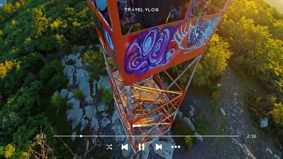
Roosa Gap Fire Tower →
A local ridge outing to a lookout above the Wurtsboro area.
Sam’s Point Loop Road and Lake Maratanza →
Use this plan for the Sam’s Point lake circuit, with a clear beginning and finish. Keeping the outing specific makes reservations, timing and the invitation easier to understand.
Sky Top Tower →
A lookout visit on private resort land. Plan the approach from your actual admission point.
SRT G1 · AT in High Point State Park, NJ to Hawthorne Lake in Greenville, NY →
The southern SRT begins at the Appalachian Trail in High Point State Park and reaches the Hawthorne Lake area. Use the official guide to distinguish the actual SRT start from the park’s other trails.
SRT G2 · Hawthorne Lake in Greenville, NY to the Long Path →
This connection reaches the Long Path at Shin Hollow Road. Ridge walking and old rail history are part of the story; a nearby active railroad is not a hiking route.
SRT map area 1 · High Point to Graham Fire Tower →
Begin at the Appalachian Trail connection in High Point State Park and follow the southern SRT toward Graham. The official G1 and G2 descriptions explain the early sections and connection with the Long Path.
SRT map area 2 · Graham Fire Tower to Wurtsboro →
The route moves from southern ridge country toward the Bashakill and Wurtsboro. Old railway corridors and wetland edges make this an especially useful area for comparing historic and modern maps.
SRT map area 3 · Wurtsboro to Minnewaska →
Follow the ridge north through Wurtsboro, Roosa Gap and toward the Minnewaska landscape. Consult the shared Long Path descriptions and current land-manager notices; historic mining areas include restricted land.
SRT map area 4 · Minnewaska to Mohonk Preserve →
The northern SRT continues through Minnewaska and Mohonk toward the Wallkill Valley Rail Trail. Follow the SRT-specific map after its split from the Long Path; the Long Path descent to Rondout Creek is a different route.
Table Rocks out and back from Spring Farm →
Make this a destination walk with an unhurried return. Save time for looking at the rock forms without stepping into gaps or searching for shortcuts through them. Out-and-back walks are easy to shorten deliberately:…
Undercliff–Overcliff from West Trapps →
Choose this outing when you want an extended walk with time to talk and look around. The paired carriage roads form the core loop; starting at the Visitor Center adds a different connection. Decide which parking area…
Valley View Loop from Coxing →
The appeal here is variety within one outing: water, shaded woods and a more open road section. Confirm the return connection on the Coxing map before starting so a scenic side trip does not silently become a longer…
HikerQuests planning guide · published October 3, 2026. Read how our guides, sources and community observations are handled.