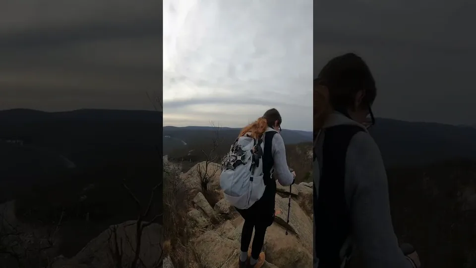
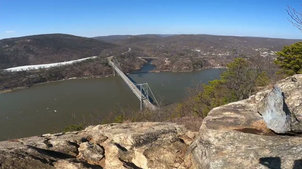
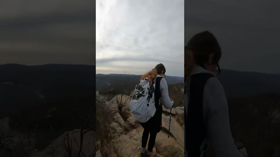
Hiker
Hudson Valley Hiking Challenges & Section Guides
Find Hudson Valley hiking challenges, Downstate 28er destinations and southern Long Path sections, with ideas for exploring towns after a hike.
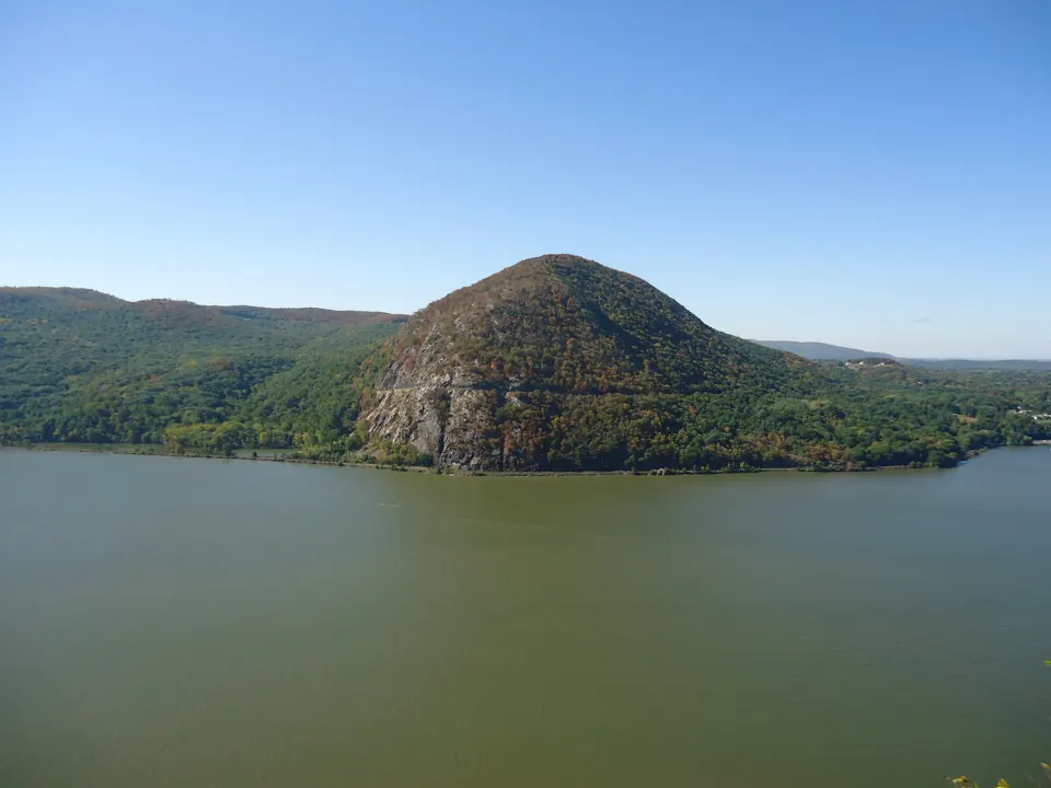
Turn a local hike into a longer project
The Hudson Valley collection brings together challenge destinations and section hiking. Choose a manageable route first, then see how it fits a larger checklist. Distance alone does not capture steep climbs, rocky footing, road walking or transport between trailheads.
Follow the Long Path north
The southern Long Path sections introduce a mix of riverside landscapes, ridge trails, parks and road connections. Read the section-specific description rather than assuming every stretch is a continuous woodland hike. Arrange transport for one-way walks.
Discover the Downstate 28er
Open the NY Downstate 28er page for its destinations and organizer link. Record the actual date of each outing. Personal notes, saved hikes and condition reports can help you decide which destination fits the next weekend.
Leave time for the town
After-hike exploring works best when the stop fits your finish, energy and return drive. Use the regional visitor links on destination pages to check food and attractions directly. Keep opening hours and travel time separate from the walking plan.
Plan your next step
- NY Downstate 28er hiking challenge →
- Long Path Section 1: New York City to the state line →
- Long Path Section 9: Heritage Trail →
- Explore the Shawangunk ridge →
Destinations & section guides
Anthony’s Nose →
Add this mountain to your hiking journal. Choose a route using the organizer’s current resources, check access, and log your visit when you return.
Bald Hill →
Add this mountain to your hiking journal. Choose a route using the organizer’s current resources, check access, and log your visit when you return.
Bald Mountain →
Add this mountain to your hiking journal. Choose a route using the organizer’s current resources, check access, and log your visit when you return.
Bear Mountain →
Add this mountain to your hiking journal. Choose a route using the organizer’s current resources, check access, and log your visit when you return.
Black Mountain →
Add this mountain to your hiking journal. Choose a route using the organizer’s current resources, check access, and log your visit when you return.
Black Rock →
Add this mountain to your hiking journal. Choose a route using the organizer’s current resources, check access, and log your visit when you return.
Breakneck Ridge →
Add this mountain to your hiking journal. Choose a route using the organizer’s current resources, check access, and log your visit when you return.
Bull Hill →
Add this mountain to your hiking journal. Choose a route using the organizer’s current resources, check access, and log your visit when you return.
Butter Hill →
Add this mountain to your hiking journal. Choose a route using the organizer’s current resources, check access, and log your visit when you return.
Candlewood Hill →
Add this mountain to your hiking journal. Choose a route using the organizer’s current resources, check access, and log your visit when you return.

Cross River Mountain Fire Tower →
An eligible challenge destination with unresolved construction access at this review.
Diamond Mountain →
Add this mountain to your hiking journal. Choose a route using the organizer’s current resources, check access, and log your visit when you return.
Dunderberg Mountain →
Add this mountain to your hiking journal. Choose a route using the organizer’s current resources, check access, and log your visit when you return.
Eagle Cliff →
Add this mountain to your hiking journal. Choose a route using the organizer’s current resources, check access, and log your visit when you return.
Esopus Meadows: river and woodland walks →
Let observation set the pace at Esopus Meadows. Choose a path that suits the group and leave time to look closely instead of adding mileage at every junction.
Falling Waters Preserve trail choices →
Choose a mapped circuit that fits your group, with a deliberate return to the same entrance. Water and history provide several reasons to pause, so avoid treating a compact-looking network as a quick dash. The…
Ferncliff Fire Tower →
A shorter tower outing; choose your route using the preserve map.
Franny Reese State Park: carriage roads and river views →
Franny Reese pairs river scenery with a history-minded walk near Highland. Decide whether the overlook, old estate landscape or a longer circuit is the day’s priority.
High Tor →
Add this mountain to your hiking journal. Choose a route using the organizer’s current resources, check access, and log your visit when you return.
Hogencamp Mountain →
Add this mountain to your hiking journal. Choose a route using the organizer’s current resources, check access, and log your visit when you return.
Hook Mountain →
Add this mountain to your hiking journal. Choose a route using the organizer’s current resources, check access, and log your visit when you return.
Indian Hill →
Add this mountain to your hiking journal. Choose a route using the organizer’s current resources, check access, and log your visit when you return.
Jackie Jones Fire Tower →
The listed outing combines Jackie Jones and Big Hill.
John Burroughs Black Creek paved segment →
For an out-and-back on the entire published 0.7-mile segment, allow about 1.4 miles before any extra connecting walk. Keep this outing distinct from the older woodland trails with a steep initial climb. Paved describes…
Little Stony Point beach loop near Cold Spring →
Little Stony Point is a compact Cold Spring plan for a group seeking time beside the Hudson. Keep the named beach loop as the agreed outing rather than adding an unexpected climb.
Long Path 01 · New York City to NY-NJ State Line →
A Hudson River opening: bridge approaches give way to Palisades woodland and cliff-top views. The northern end becomes steeper; this is a full walking day, not a short overlook stroll.
Long Path 02 · NY-NJ State Line to Nyack →
Palisades parks meet village streets around Piermont and Nyack. Tallman Mountain and the Clausland–Blauvelt park system make this a varied transition between river towns and wooded ridges.
Long Path 03 · Nyack to Long Clove →
After leaving Nyack, the route reaches the Hook Mountain ridge. River views and former quarry landscapes reward the climb, while the urban approach means the entire section is not a woodland footpath.
Long Path 04 · Long Clove to Mt. Ivy →
High Tor supplies a steep climb before the route continues through the South Mountain park landscape. Treat the mileage as a ridge walk with elevation changes, not an easy suburban connector.
Long Path 05 · Mt. Ivy to Lake Skannatati →
Cheesecote Pond and the Letchworth area lead into Harriman. The change from town parks to a large trail network makes junction awareness an important part of this section.
Long Path 06 · Lake Skannatati to US Route 6 →
A Harriman woodland traverse with hemlock, wetland edges and Stockbridge Mountain. Several intersecting trails make a current junction-by-junction map especially useful here.
Long Path 07 · US Route 6 to NY Route 32 →
Rugged summits connect Harriman with the Woodbury side of the Highlands. The organizer describes a seasonal alternative; confirm which route is open before calculating your day or logging completion.
Long Path 08 · NY Route 32 to Heritage Trail →
Schunemunk brings a steep ascent and exposed rocky walking before the route reaches the Heritage Trail. Gonzaga Park forms part of this transition from mountain trail to a former railroad corridor.
Long Path 09 · Heritage Trail →
The Orange County Heritage Trail connects Monroe, Chester and Goshen along the former Erie Railroad. Compared with the surrounding mountain sections, this is a more level multiuse corridor with a distinctly…
Long Path 10 · Heritage Trail to Mountain Road →
A long rural connector from Goshen toward Greenville, with substantial road walking. Open fields and farm country replace the mountain-trail feel; traffic exposure belongs in the trip plan.
Madam Brett Park creek and marsh walk →
This is a flexible creekside outing: select an authorized viewpoint as your turnaround and come back along the mapped path. Keep the walk separate from a Mount Beacon summit plan. Both are in Beacon, but they offer…
Mount Beacon Fire Tower →
A sustained Hudson Highlands climb. The organizer suggests the Casino Trail approach.
Mount Beacon stairs and overlook approach →
Choose the overlook as the day’s goal, then return by the planned approach. Scenic Hudson describes the South Mount Beacon fire tower as a further destination; reaching the first viewpoint is not the same outing as…
Nimham Fire Tower →
A shorter option in the lookout collection.
Nimham Mountain →
Add this mountain to your hiking journal. Choose a route using the organizer’s current resources, check access, and log your visit when you return.
Perkins Memorial Tower · Bear Mountain →
A summit outing that can also relate to the Downstate 28er checklist.
Pine Meadow loop from Reeves Meadow →
A lake name needs an approach attached. This Pine Meadow plan uses the park’s recommended Reeves Meadow circuit so companions can agree on one itinerary.
Poets’ Walk meadow and woodland trails →
Build a short walk around the places you want to pause rather than trying to visit every branch. Pick a return connection on the current map and keep it visible as you explore. A network’s total trail length is not…
Popolopen Torne →
Add this mountain to your hiking journal. Choose a route using the organizer’s current resources, check access, and log your visit when you return.
Ramapo Torne →
Add this mountain to your hiking journal. Choose a route using the organizer’s current resources, check access, and log your visit when you return.
Round Hill →
Add this mountain to your hiking journal. Choose a route using the organizer’s current resources, check access, and log your visit when you return.
Schunemunk Mountain →
Add this mountain to your hiking journal. Choose a route using the organizer’s current resources, check access, and log your visit when you return.
Shaupeneak Ridge woodland trail network →
Choose a manageable circuit and a named entrance before setting out. Connecting trails can make a return route less obvious than an out-and-back; mark the decision junctions on your downloaded map. Avoid assuming that…
Snake Hill →
Add this mountain to your hiking journal. Choose a route using the organizer’s current resources, check access, and log your visit when you return.
South Beacon Mountain →
Add this mountain to your hiking journal. Choose a route using the organizer’s current resources, check access, and log your visit when you return.
Sterling Fire Tower →
A ridge outing where the tower structure itself has access restrictions.
Stissing Fire Tower →
A relatively short outing with substantial climbing.
Storm King Mountain →
Add this mountain to your hiking journal. Choose a route using the organizer’s current resources, check access, and log your visit when you return.
The Timp →
Add this mountain to your hiking journal. Choose a route using the organizer’s current resources, check access, and log your visit when you return.
Turkey Mountain →
Add this mountain to your hiking journal. Choose a route using the organizer’s current resources, check access, and log your visit when you return.
West Mountain →
Add this mountain to your hiking journal. Choose a route using the organizer’s current resources, check access, and log your visit when you return.
HikerQuests planning guide · published October 3, 2026. Read how our guides, sources and community observations are handled.