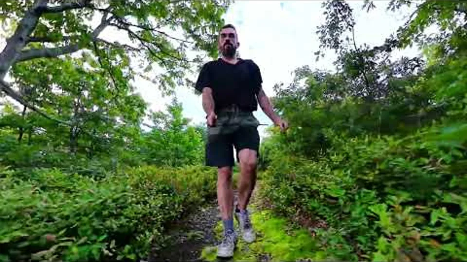
Hiker
Hiking Near Wurtsboro: Ridge Trails, O&W & D&H Canal
Plan Wurtsboro-area hikes with Long Path and SRT guides, historic railroad and canal stories, and links for food and local exploring.

Start with a route, then choose the history stop
Wurtsboro is the focus of our southern Shawangunk history collection. For a ridge outing, start with Long Path Section 12 or the SRT planning area that matches your trip. Section 13 continues from Ferguson Road toward Sam’s Point. Read the full route and current access notes before choosing start and finish points.
The O&W railroad and D&H Canal are different stories
A towpath, abandoned railroad grade and woodland road may look alike after years of vegetation growth. Our O&W and D&H stories link their sources and explain how to compare corridors without assuming that every old line is an open hiking route. Use the county’s canal park information when planning a public history visit.
Historic maps near home
Download the Wurtsboro 1943 and Ellenville 1904 layers from Trail history. Compare the mapped roads and rail corridors with your own recorded route using the opacity slider. These regional maps are not surveyed directions to houses, mine openings or foundations.
Mining history has access limits
DEC’s Wurtsboro Ridge information identifies restricted mine-related areas. Stay on authorized routes and use the historical sources to learn about the landscape. The site does not provide mine-entry directions or speculative coordinates for old structures.
Food and a reason to come back
Keep the after-hike stop flexible. The Wurtsboro business directory and Sullivan Catskills food directory can help you choose a meal that fits your drive. A canal-history visit can also be a separate, shorter outing instead of an extra detour after a tiring ridge hike.
Plan your next step
- Wurtsboro approach: Long Path Section 12 →
- Continue north: Long Path Section 13 →
- O&W railroad history near Wurtsboro →
- Understanding the D&H Canal and railroad landscape →
- Wurtsboro Ridge mining history and restrictions →
- Download historic Wurtsboro and Ellenville maps →
Official access, food & local history sources
- DEC: Wurtsboro Ridge access and restrictions
- Sullivan County: D&H Canal Interpretive Center & Linear Park
- Wurtsboro business and visitor directory
- Sullivan Catskills: places to eat
Check current access, opening hours and travel time directly. These are planning sources, not promises that every stop is on your trail.
HikerQuests planning guide · published October 3, 2026. Read how our guides, sources and community observations are handled.