Hiker
Tusten Mountain Trail Hiking Guide
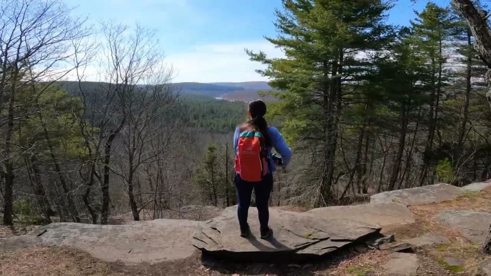
A wooded climb to a Delaware Valley overlook, with about 500 feet of gain. The approach also offers a chance to notice the valley’s industrial past.

Make this outing your own
Give the approach as much attention as the overlook. It is easy to remember only the climb and forget the walking connection from the car. Keep the bridge and trailhead instructions with your map. Save some unhurried time for observing the old worked landscape from the legal trail, then enjoy the view before heading back.
- Trailhead / approach
- Ten Mile River Access; walk the approach described by NPS.
- Distance note
- Approximate route distance from the linked source; branches and approaches can add mileage.
- Approximate elevation gain
- 500 feet
Before you head out
Use the designated river-access parking. NPS asks visitors not to drive over the stone bridge to reach the trailhead. Account for the walking approach when planning your day.
Keep these essentials in your plan
- Save the official map and directions while you have reception.
- Tell someone your route and expected return, and set a turnaround time.
- Pack water, food, layers and a headlamp for the full outing.
- Check current closures, permits, weather and parking with the land manager.
Read the landscape
NPS identifies remains associated with mills, a tannery and bluestone work. Stay on the trail and leave foundations and stone undisturbed.
After the hike
Leave the town stop flexible until you are back at the car. Add your actual route, date and useful trail observations to your journal; confirm current opening hours before making a separate food or history stop.
Town, food & history planning sources
These are regional planning resources, not verified nearby or currently open businesses. Check the actual drive and opening hours.
Keep exploring this collection
Bouchoux Trail & Jensen’s Ledges Hiking Guide
A climb above the Delaware with a ledge destination. The NPS describes about 2 miles return to the ledges; its larger Bouchoux outing is about 5.5 miles.
Route notes, maps & local exploring →
Cobey Pond Trail Hiking Guide
A pond walk with an uphill approach. NPS lists a little over two miles; different branches can lengthen the outing.
Route notes, maps & local exploring →Damascus Forest Trail Hiking Guide
A shorter forest outing through uplands and wetlands. NPS describes less than two miles with roughly 100 feet of gain.
Route notes, maps & local exploring →