 Hiker
Long Path Section 3: Nyack to Long Clove
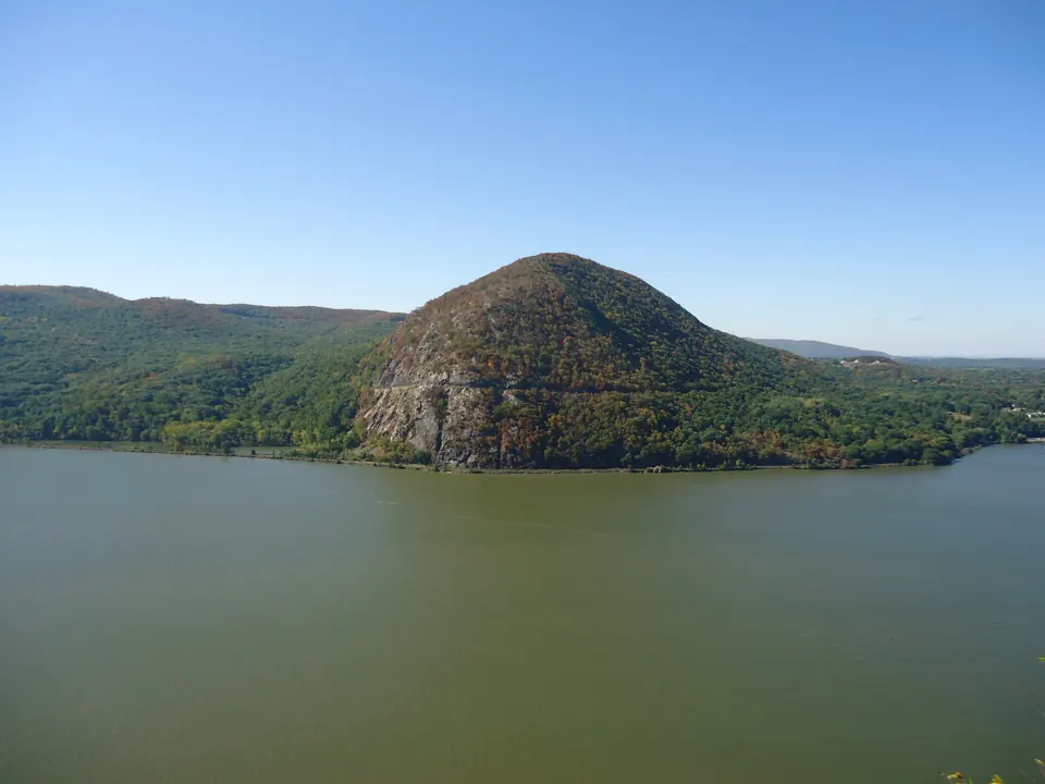
After leaving Nyack, the route reaches the Hook Mountain ridge. River views and former quarry landscapes reward the climb, while the urban approach means the entire section is not a woodland footpath.
Make this outing your own
Let the ridge climb shape the day, even though the outing begins near town. Before starting, compare the urban approach and the Hook Mountain portion on the same map. At a viewpoint, take a moment to see how the river and the former worked landscape fit together without wandering from the route.
The published mileage is one way. Arrange the return journey or choose an accurately mapped partial out-and-back before departure.
Before you head out
Arrange transport between the two ends before you start. Save the official section map and any current detours, set a turnaround time, and check weather and daylight for the whole route. A section can take several outings: mark it complete only after covering its full required route.
Keep these essentials in your plan
- Save the official map and directions while you have reception.
- Tell someone your route and expected return, and set a turnaround time.
- Pack water, food, layers and a headlamp for the full outing.
- Check current closures, permits, weather and parking with the land manager.
Read the landscape
Use the historic-map viewer to compare an area where coverage is available. Look for changes in road alignments, settlement symbols and rail corridors; record observations from public trails. A map symbol alone does not identify a surviving structure or a public right of way.
After the hike
Choose a town stop near your finish or return drive, rather than adding an uncertain trail detour. Dry shoes, water and a meal can turn a demanding section into a comfortable day out.
Town, food & history planning sources
- Hudson Valley · town and trip planning ↗
- Orange County · food and places to visit ↗
- Ulster County · regional visitor information ↗
These are regional planning resources, not verified nearby or currently open businesses. Check the actual drive and opening hours.
Keep exploring this collection
Long Path Section 2: NY-NJ State Line to Nyack
Palisades parks meet village streets around Piermont and Nyack. Tallman Mountain and the Clausland–Blauvelt park system make this a varied transition between river towns and wooded ridges.
Route notes, maps & local exploring →Long Path Section 4: Long Clove to Mt. Ivy
High Tor supplies a steep climb before the route continues through the South Mountain park landscape. Treat the mileage as a ridge walk with elevation changes, not an easy suburban…
Route notes, maps & local exploring →
