Offline · saved content is available. Changes will wait for a connection.
New York & New Jersey · Lifetime · section hiking
Long Path · traditional route
Walk the Long Path in sections, from the New York City start to its current end-to-end terminus in Altamont. Explore all 40 published section guides, including optional northern extensions.
A Hudson River opening: bridge approaches give way to Palisades woodland and cliff-top views. The northern end becomes steeper; this is a full walking day, not a short overlook stroll.
Palisades parks meet village streets around Piermont and Nyack. Tallman Mountain and the Clausland–Blauvelt park system make this a varied transition between river towns and wooded ridges.
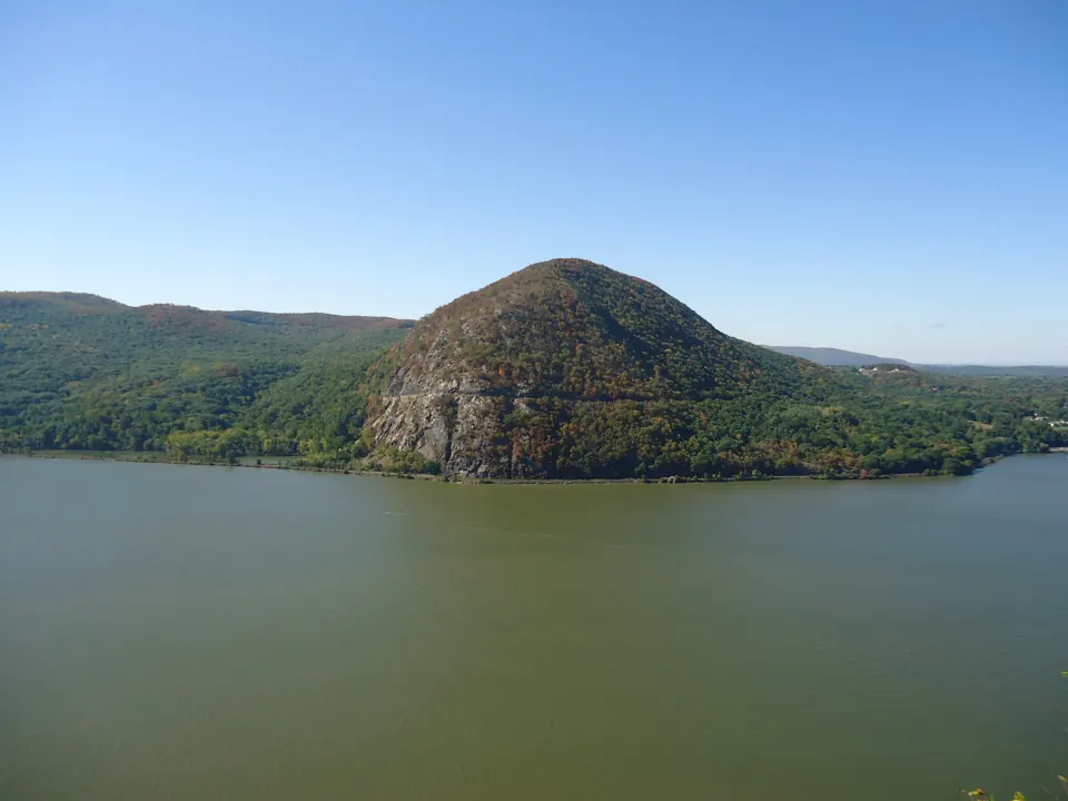
After leaving Nyack, the route reaches the Hook Mountain ridge. River views and former quarry landscapes reward the climb, while the urban approach means the entire section is not a…
High Tor supplies a steep climb before the route continues through the South Mountain park landscape. Treat the mileage as a ridge walk with elevation changes, not an easy suburban…
Cheesecote Pond and the Letchworth area lead into Harriman. The change from town parks to a large trail network makes junction awareness an important part of this section.
A Harriman woodland traverse with hemlock, wetland edges and Stockbridge Mountain. Several intersecting trails make a current junction-by-junction map especially useful here.
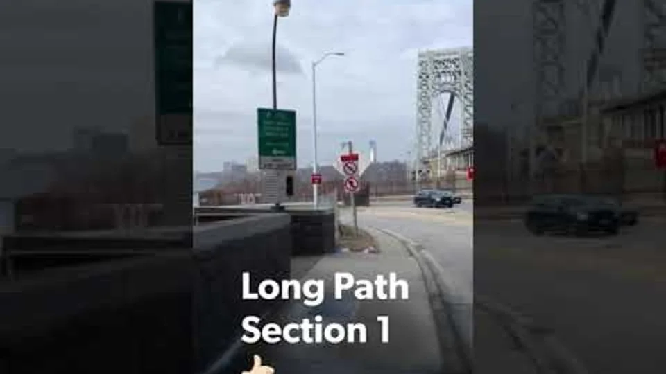
Start a long-distance project with an outing you can repeat and document. HBTrails' Section 1 clips provide a personal companion to the first section guide. The match…
A video can group two sections into one upload without turning them into one checklist item. HBTrails names Sections 2 and 3 together in this collection of clips. The…
HBTrails groups Sections 4 and 5 in this video archive entry. Use the paired guides to distinguish their endpoints before deciding how much to walk in one day. The…
Explore Indigenous history around New York hiking country, with sourced local stories, living Native nations and careful distinctions about old trails.
For an image post or story: download the card, add it in your social app and paste your caption. Add a link or link sticker where your app supports it. Nothing posts automatically.
Regional concept artwork, not a trail photograph, navigation map or completion award.
 Hiker