 Hiker
How the Catskill Mountains Formed: Rivers, Rock & Erosion
A Catskill summit is a place to think about missing rock. The valleys around it help reveal how a once more continuous mass of sedimentary layers was cut into mountain country.
By HikerQuests · Published · 2 min reading
The download is a self-contained HTML file with text, sources and any diagrams. Save and test opening it before leaving reception; outside links need a connection.

Sediment arrived from mountains to the east
The New York State Museum explains that rock around Kaaterskill and North–South Lake began as mud, sand and gravel carried westward by rivers from mountains in what is now New England. It dates those local deposits to approximately 387–384 million years ago, during the Devonian Period. That range describes the local rocks discussed by the Museum, not the age of every Catskill rock. Sources: [1]
River channels and floodplains left different layers
The Museum identifies resistant gray sandstone ledges with former river channels and many red fine-grained rocks and fossil soils with floodplains. In other words, a cliff can expose several past environments stacked together. Gravel became conglomerate, sand became sandstone, and finer sediment became fine-grained rock. Sources: [1]
A plateau became deeply divided
USGS describes the Catskills as part of the Appalachian Plateau, with relatively flat-lying sedimentary rock and ridges left as streams cut down during regional uplift. “Dissected plateau” describes that relationship. It does not mean the mountains are unreal or that there was one simple, precisely dated lifting event. Sources: [2]
Ice modified an older landscape
Later glacial processes worked on rock and relief that already existed. An Ice Age date is therefore not the date the Devonian bedrock formed. Our separate glacier lesson explains scratches, transported stones and the complexity of local ice history. Sources: [2]
Look for layers from a safe position
From a maintained trail or viewpoint, notice whether ledges repeat at similar heights and whether a cliff alternates stronger and weaker-looking layers. Treat that as an observation to compare with a geological source. Do not approach a cliff edge, enter a closed waterfall area or collect a sample to complete this lesson.
Follow the process.
Three simplified stages. The sequence is conceptual; the drawings are not to scale and do not specify a trail’s exact geology.

Rivers deliver sediment
Devonian · local Kaaterskill deposits about 387–384 million years old
Rivers carry gravel, sand and mud away from eastern mountains into lower ground. The drawing is a process sketch, not a map of an ancient river. Sources: [1]
Download this original diagram (SVG) ↓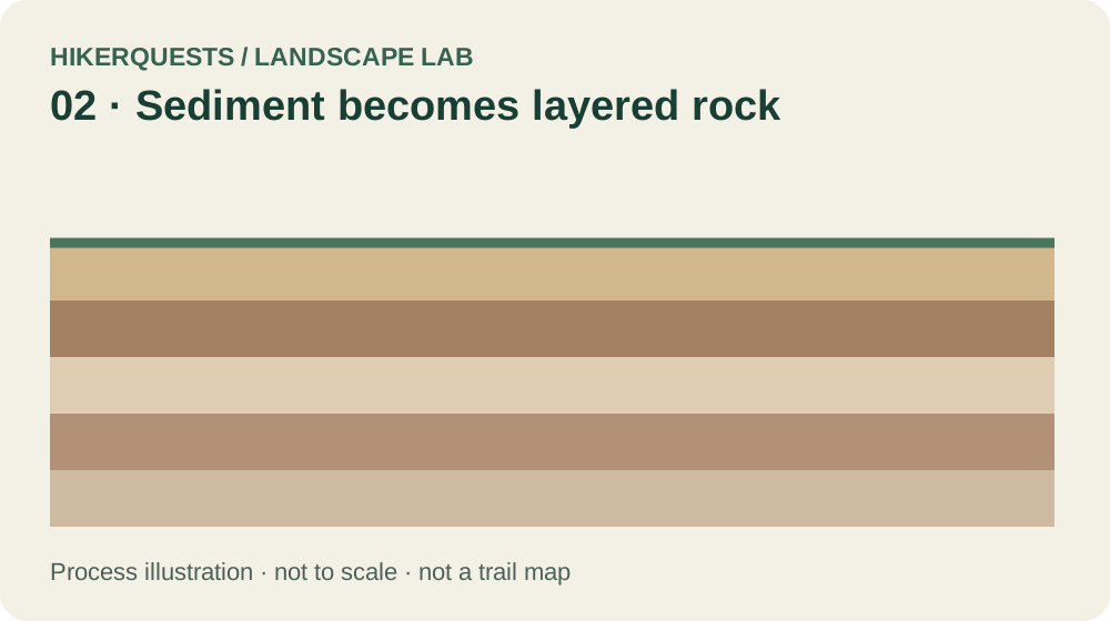
Sediment becomes layered rock
Burial and rock formation
Deposits become sedimentary layers. The simplified stack represents different sediment types; thicknesses and colors are illustrative. Sources: [1]
Download this original diagram (SVG) ↓
Streams divide the upland
Uplift, erosion and later landscape change
Valleys cut through relatively level layers, leaving ridges between them. Ice later modifies this older landscape. Sources: [2]
Download this original diagram (SVG) ↓Sources & reading notes
Checked October 3, 2026. Links lead to original publishers; availability can change. Citations support the adjacent passage, not every possible interpretation of a place.
- New York State Museum · Kaaterskill ↗
Explains Devonian river and floodplain deposits near Kaaterskill and North–South Lake, about 387–384 million years old.
- USGS · Catskill physiography and bedrock geology (1993 report, PDF) ↗
Describes high ridges as erosional remnants of Devonian deposits and streams cutting relatively flat-lying rock during regional uplift.
Original HikerQuests process illustrations, informed by the sources above. Educational schematics, not measured field sections. Editorial policy.
Keep exploring
- Catskills guides →
- Explore the fire towers →
- Catskill 3500 hiking →
- Read the later Ice Age clues →
- Compare the Shawangunks →